This winter might be one for the record books—but not necessarily for the reasons you’d expect. It’s not just one wild snowstorm meteorologists are worried about. It’s how two major climate forces are teaming up to shape an entire season of unusual, intense, and persistent weather. Let’s break down what that means for you and why experts are sounding the alarm.
Two climate forces are aligning—and that’s rare
Winter weather doesn’t form by chance. This year, two powerful patterns are lining up in a way we don’t often see: La Niña and a potentially weakened polar vortex. Each of these climate systems on its own can influence the season. But when they interact, the effects can multiply.
La Niña is a cooling phase in the Pacific Ocean that shifts global wind and weather patterns. When it’s active—like this year—it often leads to colder and snowier conditions across much of North America and parts of Europe and Asia.
The polar vortex, meanwhile, is a swirling mass of cold, high-altitude air that usually stays near the Arctic. But when it weakens or gets disturbed—which early signs show may happen this year—that Arctic air can spill south in powerful waves.
What this means for your winter
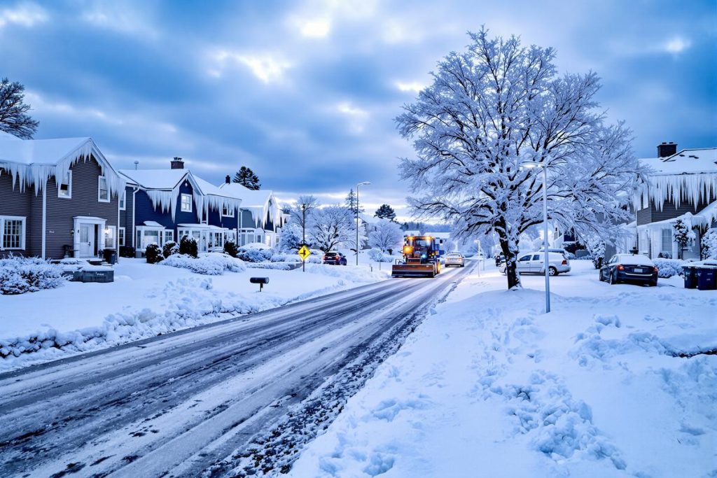
When La Niña bends the jet stream and the polar vortex breaks down, the result can be weeks of deep freezes and heavy snow in regions not used to prolonged cold snaps. This combination doesn’t just bring a few chilly days—it creates long-lasting weather patterns that stick around and cause disruption.
Meteorologists say this winter could be “historic” not because of record-breaking cold on one day, but because of the persistent nature of it—a steady grind of snow, ice, and cold that wears down infrastructure and routines.
Patterns from the past offer eerie clues
Forecast centers are studying seasons like 2009–10 and 2013–14. Those years had similar setups: a cool Pacific and a wobbly polar vortex. The results? Blizzards, deep freezes, and widespread disruptions, especially in North America and parts of Europe and East Asia.
While history doesn’t guarantee a repeat, the reappearance of these patterns makes this winter worth paying close attention to.
Here’s what meteorologists expect
La Niña tends to show certain reliable habits. Add a weakened polar vortex, and the stakes go up. Here’s what we may see:
- Frequent cold plunges into central and eastern parts of large continents
- Persistent snowstorm tracks across the same areas, piling up totals over weeks
- Freezing rain in places where coastal warmth clashes with inland cold
- Dryer southern regions, especially in parts of the U.S., possibly heightening drought worries
- Strong cyclones due to huge temperature swings along the jet stream
How polar vortex disruptions hit the ground
Despite how the term ‘polar vortex’ is often used casually, scientists watch it closely for one major event: sudden stratospheric warming. This quick rise in upper-atmosphere temperatures flips wind patterns and can send Arctic air far south within weeks.
Depending on how the vortex splits or shifts, we could see:
- Double cold zones hitting both North America and Eurasia
- Frozen streaks over major urban areas, lingering for days
- Storm blocks that trap conditions in one place, dumping snow and cold without much relief
Regions at highest risk
Mid-latitude countries with large populations and older infrastructure are especially vulnerable. That includes much of the northern U.S., Canada, parts of Europe, and East Asia.
Forecasts suggest:
- Back-to-back cold snaps that don’t allow time to recover
- Heavy snowfall building steadily over weeks
- Power grid strain due to high heating demand, especially during the holidays
- Transport issues: potholes, slippery roads, frozen tracks and runways
Climate change makes forecasting harder
It’s tempting to think a warming planet means easier winters. But it’s not that simple. Climate change adds more moisture to the air—that means when cold arrives, snowfalls can be heavier.
Less Arctic sea ice also means more ocean heat escaping in fall, possibly disturbing the polar vortex more often.
Forecasters now talk in chances, not certainties. Terms like “higher-than-average risk” or “enhanced probability” reflect both the power of new tools and the limits of long-range models.
How to get ready—just in case
Even if the worst doesn’t happen, preparing now is always smart. Here’s what you can do:
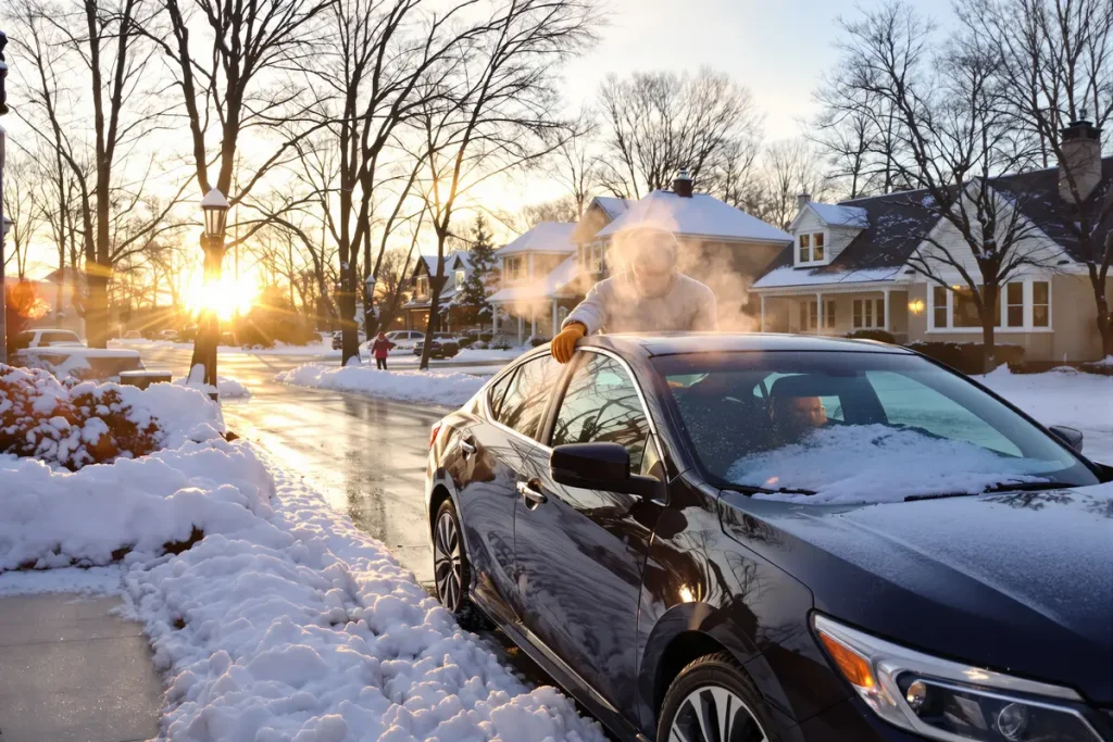
- Check heating systems and seal drafts
- Stock up on batteries, food, and any needed medications
- Equip cars with winter tires, blankets, scrapers
- Set up alerts for power outages and weather warnings
Local officials can prepare too—reviewing snow plow routes, checking salt stockpiles, and making sure hospitals and care homes have plans for staff during icy weeks.
Final thoughts: Watch the signs, not the headlines
Will this winter be apocalyptic? Probably not. But it could be unusual, frustrating, and unforgettable—especially if La Niña and the polar vortex sync up just right.
Weather surprises are part of life. But when forecasts point to a rare alignment like this, it’s worth paying attention. Think of it like a storm on a slow build. It may not come suddenly, but it’s wise to be ready for a season that lingers and challenges day-to-day life in unexpected ways.